If you have ever been to Newton or Benton Counties in Indiana, you know it has some of the best farmland in the world. It's nice and flat with a thick topsoil of glacial till washed all the way down to Central Indiana from the glaciers that carved the Great Lakes. There's nothing but farm for miles around and that also makes it an ideal place for a giant wind farm spanning several counties, too. Well, except around Kentland, IN, where it gets a little weird.


CLICK HERE TO READ A PDF BIOGRAPHY OF ROBERT SINCLAIR DIETZ
I still think it's pretty cool that his original scientific theory was formulated and, now agreed, proven, right here in the Great State of Indiana. What makes the Kentland Structure the location for the study is the almost complete flatness of the area, which has always been flat throughout the history of the planet. There is, therefore, no necessity to reconstruct the position of the rocks at the exact time of impact. When we say that nothing changes in Indiana, we truly do mean EVER. Once we measured angles of the cones, it was possible to calculate per Dietz's idea, where the points of the cones intersected above the ground. That's the actual point of the impact. Almost no very large meteorites ever hit the ground. Friction from our atmosphere cause the explosion to occur well above the ground, which is the case here.
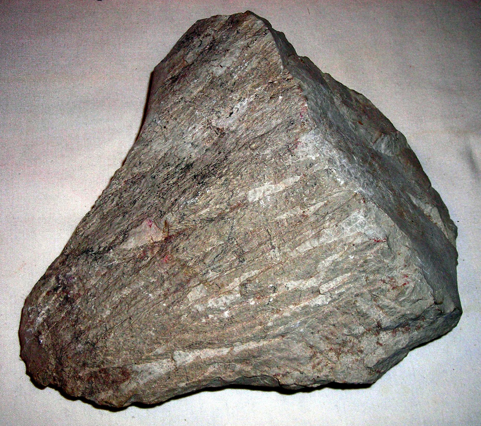
It still packed a giant PUNCH, though. It blew a dome 12.5 kilometers in diameter and created faults in the process. It exposed some really valuable rock that was deeply buried. It pulvarized the quartz particles in some of the St. Peter sandstone into rock flour. Some of this rock flour was instantaneously rehardened by intense, fast heat and pressure into cones making a record of the event. In case you ever need something smart to say at a cocktail party, the shock metamorphism that made the shatter cones is technically called cryptoexplosion deformation. How big was the blast that made the Kentland Structure? It would be the equivalent of the force of an earthquake measuring XII+ in the Mercalli Scale, but concentrated in a tiny area.
Persons settling "these parts" in Benton County, IN had no idea what was hidden beneath their crops. As erosion thinned the topsoil, revealing rock with economic use and quarrying began, people observed the big clues to a catastrophic past. Studies conducted in this site have contributed to a better understanding meteorite impacts that are studied all over the world. No doubt, geophysicists will be heading to Russia with their tripods and theodolites to look for the new clues. What makes the Valentine's Day Impact very exciting to study is that there are videos and eyewitness accounts to add to the information in the rocks! Who'd a thunk all this ruckus started back home on Indiana farmland?
I've been to this site, and I have a shattercone from there too. Pretty cool stuff.
ReplyDelete